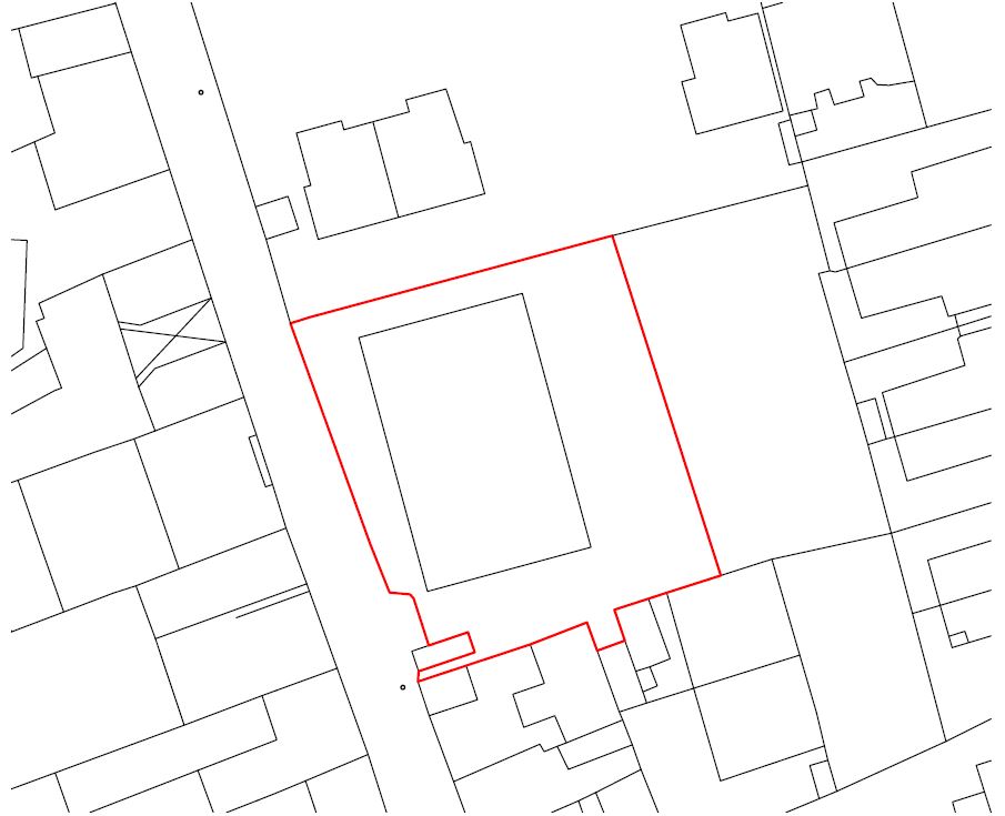
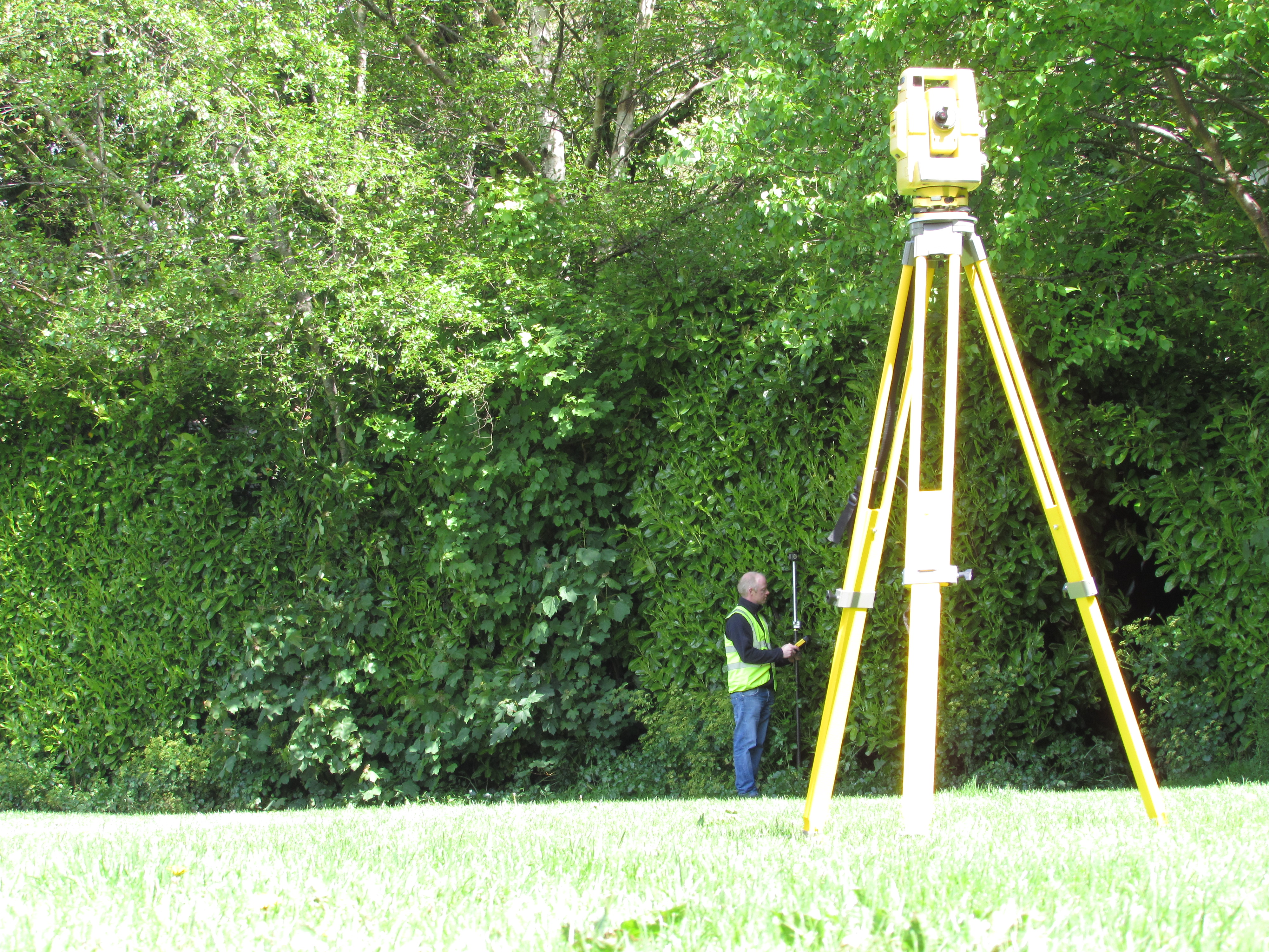
Boundary Survey /Land Registry compliant mapping
Land Registry compliant mapping is required if your property or part of a property requires a new title. We can meet these requirements in conjunction with your solicitor to offer the complete service of site boundary and land survey, area certification and production of the title maps for submission to the land registry.
We provide:
- Land Registry Mapping
- Property Sub-division
- Area Determination
- Boundary Definition
Multi-storey mapping and property registration
Where a development involves separate registration of apartments, flats, floors, retail units etc., floor plans must be submitted to the Land Registry for the following reasons:
- For a suitability check before the first application for registration is lodged.
- To clearly and unambiguously identify the boundary/extent of each unit.
- To provide a version of the plans that will become the Land Registry Map to enable registrations take place.
We can produce these maps from full measured survey of the floor plans, preparation of maps to meet compliance with rules set out by the Land Registry and submission of maps for approval to the Land Registry. All of the above will be prepared in conjunction with your solicitor for attaching to individual leases or contract of sale.
Lease Maps
We provide detailed Lease Map measurements which accurately calculate the Net Internal Area (NIA) or Gross Internal Areas (GIA) of commercial properties. These Lease maps can then be attached to commercial lease agreements. We adhere to strict codes of practice to ensure accuracy and confidence in our Maps and reports and follow the RICS Code of Measuring Practice.


